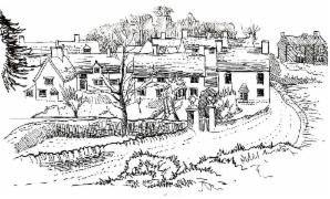
Day 15 - West Ilsley to Fawley - 12 miles
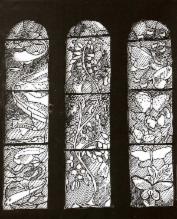
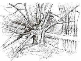
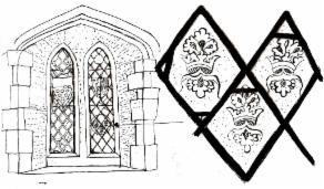
A day spent at first high up on the Berkshire Downs escarpment with wide views across the Vale of the White Horse, then into the dry chalky stretches of land on the dip slope. We pass isolated houses such as Lands End, and the village of Farnborough, with its gem of a church window, to reach Fawley in its high, lonely position which Thomas Hardy chose as a setting for his bleakest novel, Jude the Obscure.
Day 16 - Fawley to Ashdown House - 12.3 miles
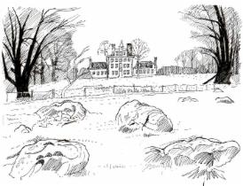
Still on the sparsely populated chalky uplands - there are no villages, no public telephones, let alone beer (!) as we travel westwards. We criss-cross the boundary and learn the reason for its somewhat surprising route midway along the dip slope. We pass a remarkable group of neolithic burial places and end the day to be greeted by the delightful elegance of Ashdown House.
Day 17 - Ashdown House to Sevenhampton - 10.8 miles
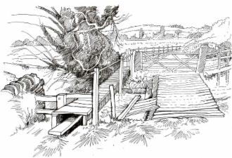
With our last chance to enjoy the ridge-top views north and west, we walk into the seventh shire, Wiltshire, and from there descend to the springline villages of Bishopstone and Idstone. Here we pass our first pub on the route since West Ilsley, nearly 30 miles to the east. On the lowlands, the River Cole forms the country boundary. Near its banks, we pass through a fast-growing community forest to end with an opportunity for tea at Roves Farm.
Day 18 - Sevenhampton to Southrop - 14.8 miles
This is a longer stretch than usual, but much of the walking is on flat,straight roads or by the quiet banks of the meandering River Thames and its tributary, the River Leach, which forms parts of the county boundary. At Buscot, we cross the Thames back into our first shire, Gloucestershire. This walk could be divided into two days by including visits to see the elegance of Buscot Park, experiencing the tranquility of William Morris's home at Kelmscott Manor or hiring a boat on the River Thames at Lechlade. The 200 mile point is passed near to Southrop.
Day 19 - Southrop to Great Barrington - 10.7 miles
On the 'home stretch' northwards to Moreton-in-Marsh, we pass through small Gloucestershire villages. Ancient, thick hedgerows make up the country boundary. The building stone begins to reflect the fine quality Costwold limestone beneath our feet.
Day 20 - Great Barrington to Bledington - 10 miles
We make more progress towards our northern destination across high farmland, through small Cotswold stone villages, with tales of highwaymen and an ancient lane towards Bledington.
Day 21 - Bledington to Moreton-in-Marsh - 11.2 miles
The River Evenlode, on its quiet, meandering course towards the Thames, first forms the boundary, which then strikes across higher land. We pass through villages where the reddish marlstone has been used. At Moreton-in-Marsh the watershed is nearby, with the Severn Valley to the north and the Thames basin to the south. After 234 miles, we complete the circuit at the Four Shire Stone.